Owned by the Solaro Family until 1792, the castle was acquired in 1795 by the House of Savoy and remained under its control until 1850. Acquired in 1897 by the municipality of Govone, both the castle and its grounds are open to public visits. Of particular note within the castle are its main stairway with sculptures and relief details from the Royal Palace of Venaria, the Chinese wallpaper in the various rooms depicting the making of porcelain and the stowage of tea, silk and rice and the interesting example of neo-classical trompe-l’oeil painting in the ballroom. The Church of Spirito Santo (1767) is also of remarkable artistic value and was, with the arrival of the House of Savoy to Govone, connected to the castle by way of a gallery. As you stroll along the narrow lane around the castle walls, you can also see the house where the Swiss philosopher Jean Jacques Rousseau lived during his time in Govone.
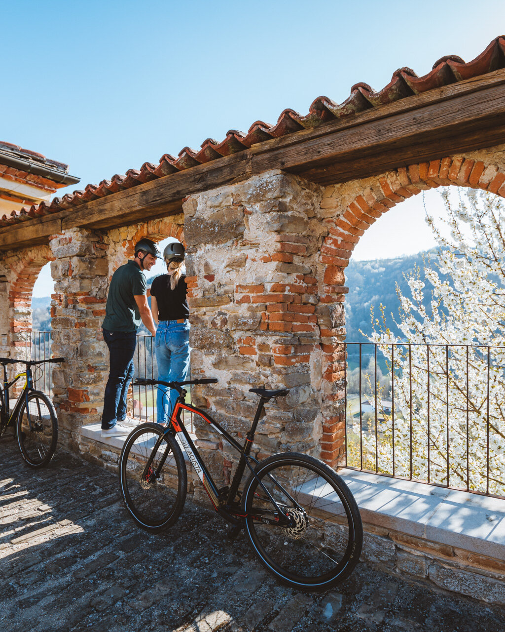
When you are ready to get back on your bike, follow the route of the previous leg in reverse taking highway SP 235 from Via XX Settembre in the direction of San Pietro di Govone. Just before you leave San Pietro, take Strada Crocco on your left. From here, the itinerary descends gradually past the houses in the direction of Canove along a narrow, paved road with a lovely view of Govone and the Tanaro Valley. When you reach the base of the valley, turn left onto highway SP 2, then turn right in just over 200 metres in the direction of Mulini. Here, near Rio Sorso, you will cross “Sentiero dei Mulini” (Trail of Mills) and one of the trail’s most significant mills, Mulino Gallo, an 18th century mill owned by the Alfieri and Visconti Families that was actually functional until the 1970s.
From here, the RBT becomes a leisurely ride along the old valley road parallel to highway SS 231 for about 9 kilometres, alternating between asphalt and brief sections of gravel. The road is not far from the Tanaro rivers and its canals, were there are numerous, abandoned city mills, which point to the historical importance of grain in this fertile valley, rich as it is in alluvial sediments. You will first come to the hamlet of Sant’Antonio of Magliano Alfieri that is of Roman origin. Indeed, many relics from the fundus Mallianus, a mandatory passage between the Roman cities of Alba and Asti, have been found here.
Pass the Church of Sant’Antonio on your right and continue along Via Moisa, which runs alongside the mill canal and which takes the name Strada Valmorterra for a lengthy section, then Strada Comunale del Lavandaro and Via Sotteri for the section that falls within the territory of Guarene. This will take you to another mill of historical importance, Mulino Lavandaro, owned by the Roero Family and active until 1980.
After about a kilometre, turn right in the direction of the hilltop village of Guarene, then turn left after 400 metres to stay on Via Sotteri. Continue along this flat road for the last 3 kilometres as it passes through Forcellini/ Osteria, an area known as the place of origin of the Piedmontese cattle, Italy’s most important indigenous breed of cattle, by way of a natural mutation of this exceptionally muscular breed.
As you ride past groves and fields of grain, you will see Guarene on the crest of the hill to your right, with its characteristic erosion furrows covered with woods above and steep hillside vineyards below. When you reach a small roundabout amongst the houses, the RBT heads to the right to climb gradually up to Castelrotto. Continue on through the residential area to the top of the hill, then turn left onto highway SP 50 to Lora along a panoramic stretch of road past groves of Madernassa pears, peaches and hazelnuts. Two hundred metres past the La Madernassa hotel, turn left and head downhill in the direction of Bassi, where you will have a lovely view of the villages and hills of central Roero. The descent continues past the houses, then turn right near a greenhouse just before you cross highway SP 29. This road will turn to dirt and climb up through fields and woods along the crest of the hill overlooking the Vezza d’Alba vineyards and countryside.
Turn right here onto highway SP 171, which heads up to Mombelli. Continue along the crest of the hill for about 4 kilometres past Montebello and on to Guarene. Pass the cemetery and turn right on to Via Gorizia to reach the centre of Guarene, one of the most beautiful, monument-rich villages of the entire Roero region. Cross Piazza Roma and follow Via Martiri per la Libertà and Via Garibaldi to Via Alessandro Roero and the intersection with highway SP 50. Follow the highway in the direction of Castagnito to the sports complex.
Here, the route turns to the left along a downhill, gravel road through the wheat fields and on to a privately owned recreational fishing pond. Continue alongside the pond for about 200 metres, then turn right towards the cool valley where the Rio Borbore begins. Continue slightly downhill along a rocky country road in the woods, past hazelnut groves, gardens and other cultivated fields. When you reach the first isolated farmhouses in Madernassa, turn right again downhill along a panoramic gravel road with a view of the historical village of Castagnito with its impressive churches. The descent winds past apple and pear groves and vineyards to Vernè at an intersection with highway SP 50.
PLEASE NOTE: Responsibility for the maintenance and practicability of the various trails lies with the municipalities where the routes are located. The Tourist Board, therefore, cannot be held responsible for any inefficiencies, but is willingly available to collect your reports so that they can be forwarded to the authorities concerned.


