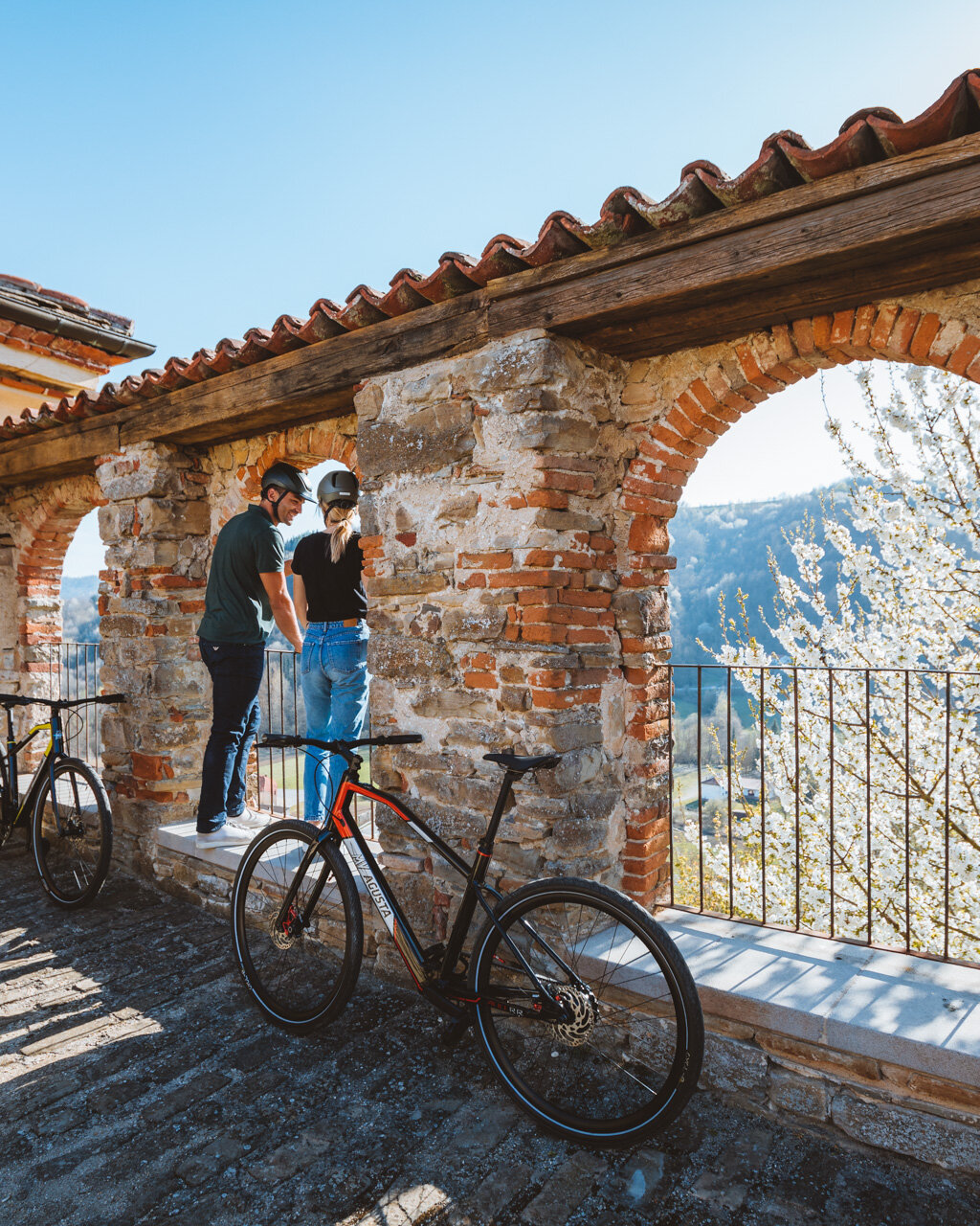
Finding parking in Guarene can be difficult, but a few spots can be found at the start of Via Alessandro Roero.
- for who: children 6 and older. Non suited to strollers (small children should be in backpack carriers)
- when: spring, autumn, winter without much snow
Variation – Before or after the itinerary, we recommend heading all the way down Via Alessandro Roero past the Guarene castle (now a luxury hotel and which you will be able to see better from afar along the itinerary) to reach a beautiful vista point overlooking the Alba hills to the south (length: 0.4 km one way; elevation gain: 30 meters).
From the centre of village, take the highway in the direction of Castagnito/Neive (only the first little bit is without sidewalk) until you reach the athletic fields. Take the dirt road to the left just after the fields, which heads slightly uphill (red-and-white signs: “408 Sentiero dell’Acino”). Continue on through some lovely vineyards and to a vista point with a view of the castle, now finally visible, then head down to the left (red-and-white sign: “421”) until you reach Guarene Lake.
Go around the restaurant, then take the dirt road to the right, which runs alongside the lake (actually a privately owned fishing reservoir). The itinerary continues downhill along the paved road until you pass a hazelnut grove, then turn right onto a dirt road (red-and-white sign: “408”). Continue downhill, gradually at first and then more steeply, in the direction of a few houses in the hamlet of Madernassa, which mark the lowest point of the itinerary.
Pass the houses and turn right, gradually downhill before beginning to climb again along a lovely, winding dirt road alongside groves of all sorts (hazelnuts, apricots, peaches, cherries, mulberries, apples, peaches and even vineyards). At the top of the climb, you will find a stable. After going around the stable, you will leave the trail marked “Sentiero dell’Acino” (“Trail of the Grape”) and head up to the left along a paved road, which will take you to the highway. Turn right onto the highway until you reach the stop sign.
Variation – If you would like to visit Castagnito, turn left here and then almost immediately left again (white sign: “Municipio”). This will take you up to the stairs that lead to the parish church. Head to the right to find the Town Hall (“Municipio”), next to which there is a trail that will take you to an area known as Castelverde, where there was once a fortress (length: 0.4 km one way; elevation gain: 30 m).
From the intersection, continue straight past the church, following the signs for “S3 Grande Sentiero del Roero Occidentale” along a tree-lined street with benches. You will also come across a playground (fountain).
When you have passed the houses, you will have a wonderful view of the vineyards. Here, take the dirt road uphill to the left (sign: “S3”). After an initial climb, the road flattens out a bit so you can enjoy the amazing view of the vineyards (following the signs and the odd red stick) as you reach the highest point of the itinerary. Head down straight along the paved road and alongside the fence of a building under construction. Pay attention at the end of the fence, because you will need to turn left and head slightly uphill (no signage, but there are some blue ribbons on poles at the start of the vineyard).
The dirt road heads downhill now and offers stunning views of Castagnito, in one direction, with the Asti hills in the background and of Guarene, to the other, with the Langhe hills in the background. When you reach a shrine, the dirt road turns to asphalt and continues downhill, bringing you to the Guarene athletic fields encountered earlier, but from the opposite direction. From here, you can return to Guarene along the same route from earlier.
Notes
Fountains only in the villages of Guarene and Castagnito.
PLEASE NOTE: Responsibility for the maintenance and practicability of the various trails lies with the municipalities where the routes are located. The Tourist Board, therefore, cannot be held responsible for any inefficiencies, but is willingly available to collect your reports so that they can be forwarded to the authorities concerned.


