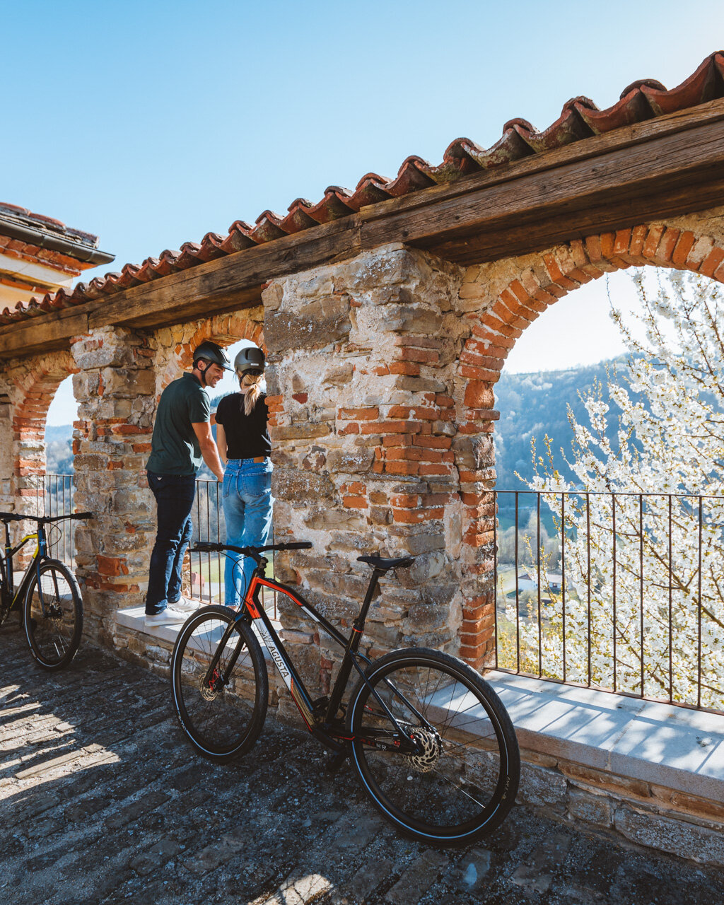
In the centre of Montà, there is a large parking area in Piazza Vittorio Veneto (fountain, café). Here, there is also the Rocche del Roero Ecomuseum, where you can find more information about the area.
- full circuit:
- for who: children 6 and older. Non suited to strollers (small children should be in backpack carriers)
- when: spring, autumn, winter without much snow
For those who have chosen to do the full circuit, you will need to take Via Cavour through the arches and then continue past Piazza San Michele and onto Via Roma, which heads slightly uphill to the Torre Campanaria, which is currently in an 18th century style although it was first erected in 1257. A brief detour could also take you behind the tower to enjoy a beautiful view over the Alba hills to the south. Follow the red-and-white signs for “Sentiero del Lupo” (lit. “Trail of the Wolf”, marked either “416” or “401”) and continue in the direction of the former parish church, an impressive 17th-century structure overlooking a lovely square. Just before the square, take the road to the left and continue along the high wall of Morra-Lavriano Castle (privately owned), which you can catch a glimpse of through the gate as you pass.
Stay on the paved road and go past the start of the “Sentiero del Tartufo” (“Truffle Trail”). A bit further on, you will able to see the Rocche rock formations through an opening to the right. Head down to the highway near Centro Outdoor and the Chapel of SS. Grato e Sebastiano. Turn to the right along the highway, starting out on the trail alongside the fence of Centro Outdoor and then on the asphalt. (CAUTION: Highway without a sidewalk. Stay as close as you can to the hazelnut grove.) In a curve to the right, you will find an information panel explaining the name “Sentiero del Lupo” (“Trail of the Wolf”). The name actually comes from the nearby hamlet of Caialupo, so there’s no danger of coming across an actual wolf. Continue along the paved road past a small chapel in the hamlet of Vittori as well as vineyards and chestnut trees until you reach a dirt road to the right that heads gradually uphill (blue sign: “Vittori Alto”).
Note: The shorter circuit begins here. We recommend this circuit to everyone traveling with small children, because it’s 3 km (1.9 mi) from Montà to here, one way and all on paved roads, which is about a one-hour walk.
Pass by a few chestnut trees, then take the dirt road. After a brief climb, you will find a fork in the road. Take the rightmost road that heads fairly steeply downhill and runs along the Nissoletto valley, which is a sort of trench with an often-sandy floor. You will generally want to keep going straight along the widest, cleanest road. You will not come across other signs, but there are a few tall, red-and-white sticks. Keep your eyes peeled, though, and you’ll see some impressive, old-growth chestnut trees.
Towards the end of the valley, you will need to head to the left (sign) to get to a paved road. Follow this road to the left to reach the hamlet of Valle del Morto. Just past the houses here, take the dirt road to the left. At the first curve, continue straight along a grassy track, which runs behind a few vegetable gardens and back into a sort of trench. The trail immediately turns steeply upward for a brief climb through the woods. As you continue heading gradually uphill, the landscape will make a marked change as you begin to walk alongside hazelnut groves and then vineyards. Keep to the tractor track above the hamlet of Caialupo until you reach Vittori Alto.
Cross the hamlet as you continue along the high road. A final, brief climb will take you to a vista point, and from here you will head back down to the chestnut trees where the circuit began.
For the full circuit, you will now need to head back along the paved road from before. For those who did the shorter circuit, your walk ends here and you can now go and visit the centre of Montà with its tower, castle and, more importantly, a great gelato shop.
Notes
Fountains only in Montà.
PLEASE NOTE: Responsibility for the maintenance and practicability of the various trails lies with the municipalities where the routes are located. The Tourist Board, therefore, cannot be held responsible for any inefficiencies, but is willingly available to collect your reports so that they can be forwarded to the authorities concerned.


