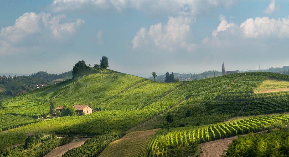
Starting from Canale, walkers can go through Roncaglia, Madonna del Cavalli and Baroni Incisa crus to reach the village of Castellinaldo on top of the hill. This council has a cultivated area with vineyards from the Roero territory and a wonderful view. After that, they walk across the extended amphitheater of vineyards of Rocca Cerretto, Serra Zoanni, Leschera, San Quirico and Trono crus, to then get in proximity of Castagnito through the Cortine and Croera crus, from which is worth to get a glimpse at the 360-view offered by San Licerio bric, one of the highest point of the area. The vineyards that are mostly exposed towards the south/south-west side (Serra Zoanni, San Quirico, Cortine) benefit of an important solar radiation from the central hours of the day until sunset, which means that their soil is rich in clay and silt, but has a less percentage of sand compared to the average soil of this territory.
Continuing the itinerary, walkers go across the elegant town of Guarene with its massive baroque castle and proceed towards Vezza d’Alba walking alongside Montebello and Madernassa crus, surrounded by vineyards and spread-out orchards (Madernassa pears, apricots and peaches). Consequently, they reach the Borbone stream’s plain walking on a road on the valley floor, from which they can admire the steep vineyards of Torion and Patarun crus crawling their way up on the right side, going then up San Michele’s ridge among vineyards that frame the homonymous little parish church and some historical ciabot, closing up the ring path in direction of Canale.
Find out more
WineTour 1 - The cru where the Arneis wine was born
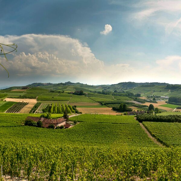
It is an itinerary that winds entirely through the council of Canale and crosses a lot of its most famous cru, among which there is the Renesio cru, such as an ancient toponym from which the folksy term “Arneis” was originated, that then meant to indicate the Arneis DOCG’s viney
Find out more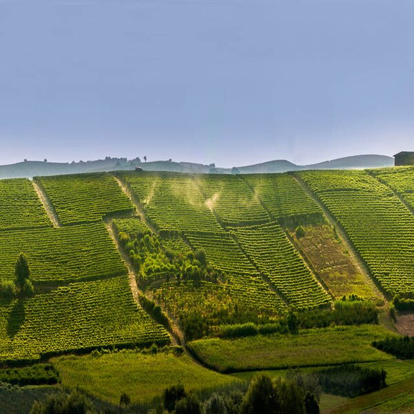
WineTour 3 – The crus at the edge of the Rocche’s area
Itinerary that winds its way through the most significant crus located in towns on top of the Rocche, which is a geological erosion phenomenon that characterizes Monta’, Santo Stefano Roero and Monteu Roero, where sandy inaccessible cliffs show themselves, wild, among the cultivated plots.
Find out more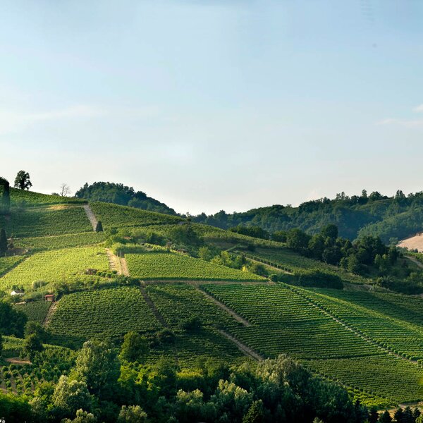
WineTour 4 – The panoramic crus of central Roero territory
Itinerary that mostly develops on ridges and enhances wine geometries of rare beauty, with panoramic 360 views over medieval castles and towers of central Roero territory, surrounded by the mountain range of the Alps.
Find out more
PLEASE NOTE: Responsibility for the maintenance and practicability of the various trails lies with the municipalities where the routes are located. The Tourist Board, therefore, cannot be held responsible for any inefficiencies, but is willingly available to collect your reports so that they can be forwarded to the authorities concerned.
