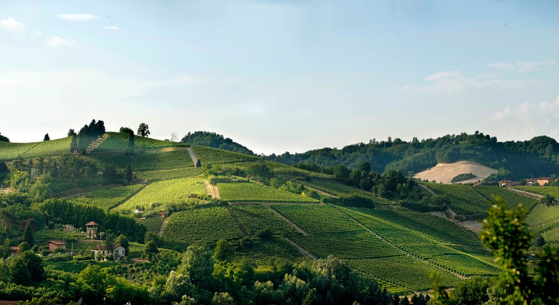
From Old Town Canale, going alongside the Malabaila Castle’s park, walkers follow Viale Del Pesco to end up in Via Boschetto, walking on a long but gradual panoramic ascent that leads them to the Mombirone Sanctuary, a religious location that overlooks the town of Canale. After that, they centrally cross the Mombirone and Srü MGA and, once reached the opposite ridge, walkers penetrate Sant’Anna cru throughout its entire length, located in Monteu Roero council and its homonymous village. Here, the ridge full of vineyards presents itself as a landscape of rare beauty thanks to the neat geometries and the wideness of its natural amphitheaters that stretch to the vast horizon surrounded by the Alps. After that, walkers go across the Canton Sandri cru to get to Occhetti San Pietro and Occhetti, a location known for the San Pietro di Novelle parish church, quoted from the year 901. It quite likely to find a lot of fossils in this area, because there’s a less percentage of limestone, while the silicon dioxide percentage is particularly higher. At this point, walkers enter the territory of Monteu Roero, walking through the two rural village of San Rocco and San Giacomo, where ancient springy rituals related to the worship of trees still persist, together with their homonymous MGA.
Following that, they enter a zone which is full of additional geographic indications: starting off from Anime Nere, they keep on walking alongside Ciabot San Giorgio, which is the site of the disappeared Pulciano’s castle (10th century), entering then the wide San Michele (whose major extension is a part of Canale’s land), which is overlooked by a parish church that stands isolated as a sentinel of the territory. After that, walkers skirt Bricco Braida and scramble on the panoramic ridge that crosses Anime and S.S. Trinita’ crus, going then back to Canale and to its elegant arcades.
Find out more
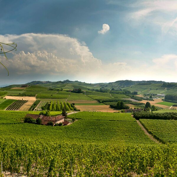
WineTour 1 - The cru where the Arneis wine was born
It is an itinerary that winds entirely through the council of Canale and crosses a lot of its most famous cru, among which there is the Renesio cru, such as an ancient toponym from which the folksy term “Arneis” was originated, that then meant to indicate the Arneis DOCG’s viney
Find out more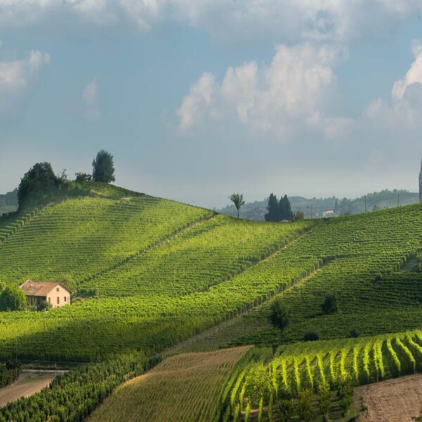
WineTour 2 – The clayey crus towards the Tanaro River
Itinerary that goes across the residential core of the Roero’s councils, which face Tanaro River valley: Castellinaldo, Castagnito, Guarene and Vezza d’Alba. It’s a territory that’s shaped with soft and sinuous lines, in which vineyards contend their ground with fruit trees and hazelnut trees.
Find out more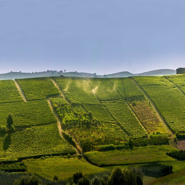
WineTour 3 – The crus at the edge of the Rocche’s area
Itinerary that winds its way through the most significant crus located in towns on top of the Rocche, which is a geological erosion phenomenon that characterizes Monta’, Santo Stefano Roero and Monteu Roero, where sandy inaccessible cliffs show themselves, wild, among the cultivated plots.
Find out morePLEASE NOTE: Responsibility for the maintenance and practicability of the various trails lies with the municipalities where the routes are located. The Tourist Board, therefore, cannot be held responsible for any inefficiencies, but is willingly available to collect your reports so that they can be forwarded to the authorities concerned.
