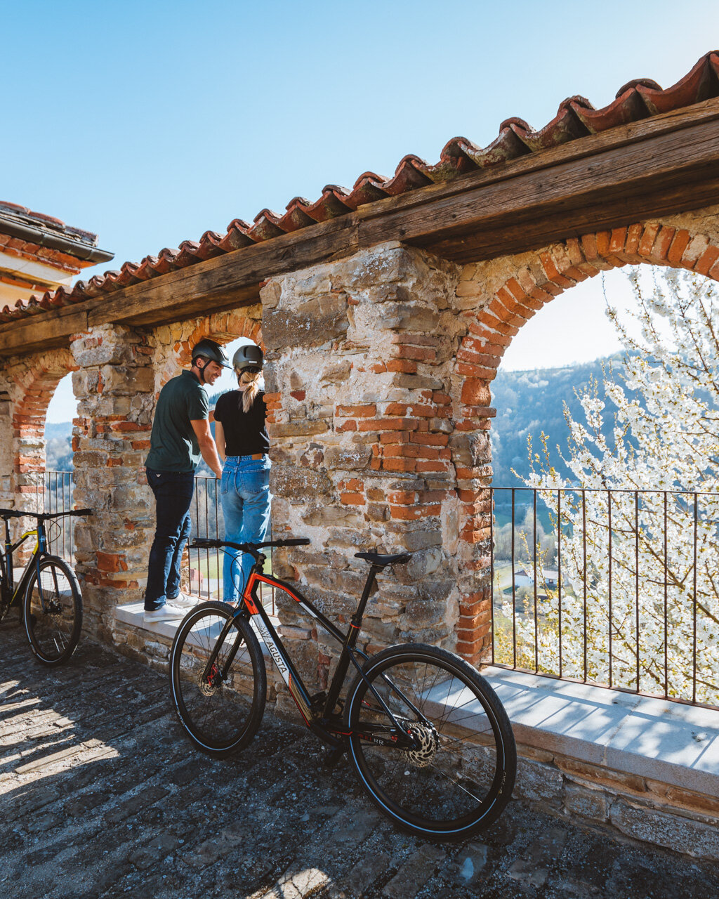
From the centre of town, take the road that leads to the campground and continue along the flat, paved road to the right, near the entrance to the bungalows. Continue along the flat until a house standing on its own. From here, stay along the crest of the hill, then, near a wayside shrine, head up to the right until you reach Bric Massimino, which features an isolated farmhouse. The hillcrest here is very narrow, so you can enjoy the view of both valleys—with the rolling hills of the Bormida Valley and the steeper landscapes of the Uzzone Valley—at the same time. From here, the road turns to gravel and heads along the flat into a lovely chestnut grove. Keep to the right at a couple of forks in the road and continue on to the saddle in the hillcrest overlooking the village of Levice. A brief detour here of around a hundred metres along a dirt road will take you what’s left of the tower of this village, first established here in the early Middle Ages and then moved lower along the current main highway where Levice is located today.
If desired, a longer, unmarked detour to visit the actual village is also possible. The closed village of Levice is certainly worth a visit to see its particular, sloped checker-board layout, which is extremely rare in the Langhe region (with only La Morra perhaps having something similar). The main square, with the Church of Sant’Antonio Abate and its lovely Romanesque bell tower, also features the 17th century Palazzotto degli Scarampi, which lends the square a certain importance. The charm of this village is enhanced by the stone streets, which were designed in such a way as to facilitate the passage of mules and horses and by the vaulted entryways and shadowy passageways connecting the village’s steep streets.
Continuing the itinerary along the crest, after a brief section of paved road, you will need to make a sharp turn to the left to climb up a difficult section of dirt road between two rows of shrubs. Ignore the roads that head down to the right and to the left and continue along the broad crest, as it climbs gradually, until you reach an intersection; after that, continue straight through onto the paved road with adjacent rest area. This slightly uphill road will take you to the panoramic Pian della Croce.
Remaining on the hillcrest, but now on a gravel road, climb further towards the summit of the hill. Head down for a brief section, but staying along the crest, to a paved road at the saddle beneath the summit of Bricco delle Forche. Climb for a few metres to an aqueduct depot, then head down to the right to a crossroads located just a few dozen metres from Cascina Coste in the middle of cultivated fields and reforested pine trees. Leave the paved road and head up to the left along a dirt road, then continue on the flat through cultivated fields, on a road more difficult to identify, until you reach a villa. Continue alongside this house to a paved road, then follow this road to the right and head down to the wider main highway. Once you have left the greenery, continue along the crest of the hill to the hamlet of Serra. At the next crossroads, follow the signs for the castle (castello) to the right and you will soon reach the summit of the hill.
The view from Prunetto is one of a kind. Its magnificent castle erected by the Del Carretto Marquises is a wondrous sight as it rises above the hill beneath it. Together, the castle and the adjacent church (a Romanesque church originally dedicated to San Lorenzo, but now the Sanctuary of Carmine) form one of the most stunning landmarks in the entire Langhe region. The sanctuary, which was expanded multiple times following its circa 12th century founding, features remarkable frescos that are some of the oldest in the valley, as well as a series of works by Segurano Cigna, master of the neo-Gothic Mondovì school of the 15th century. The castle rests right on the edge of the cliff face, probably because of a landslide that swallowed up a section of the oldest part of the village and maintains the look of an ominous medieval manner. You will need to continue on to the beginning of the wall that runs along the entryway known as “La Battagliera” and then head down to the left along the steep Via Castello to cross the oldest hamlet of this municipality. You will soon be back on the main highway, where you will turn to the right and continue on to the main church.
PLEASE NOTE: Responsibility for the maintenance and practicability of the various trails lies with the municipalities where the routes are located. The Tourist Board, therefore, cannot be held responsible for any inefficiencies, but is willingly available to collect your reports so that they can be forwarded to the authorities concerned.


