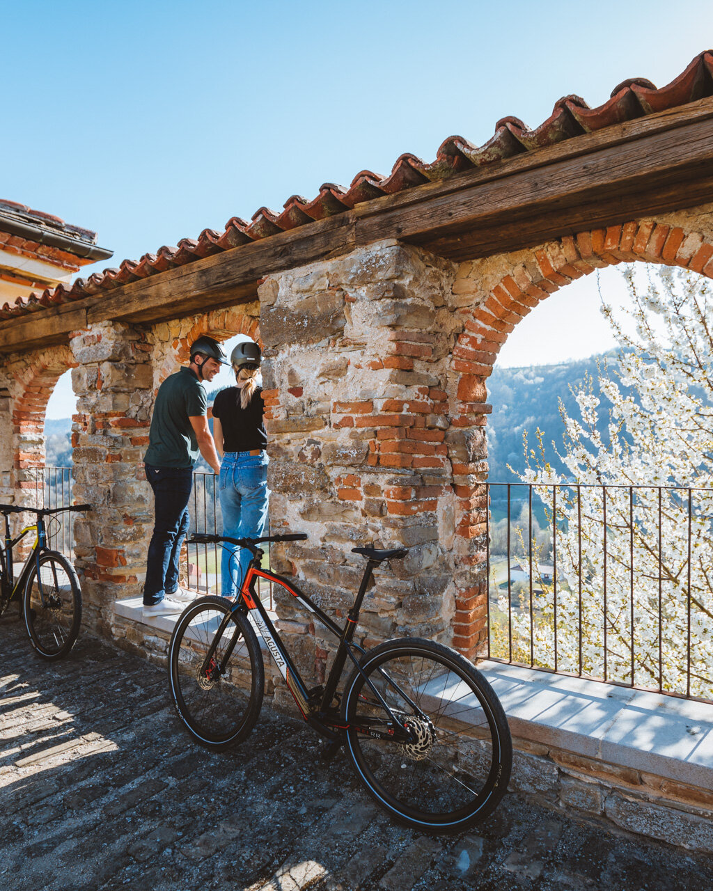
From the square, head past the main church down along the paved road that crosses the entire historical centre of town. Cross the main road and follow the signs for the sanctuary (santuario) up to the last house in town. The marked route passes behind the house to the right. After a brief climb, turn left and head down gradually to remain below the crest of the hill. Pass a lovely fountain and a few houses, then turn left. The road will be paved again when you reach a curve. Turn right onto a steep, downward sloping road to the ample clearing that surrounds the Santuario della Madonna Assunta, which was erected in place of the ancient Parish of Santa Maria di Gudega and is a stunning example of 17th century architecture with its nave and two aisles and its eight-strips façade looking out over the valley. The adjacent Casa del Pellegrino offers shelter for all travellers.
You will now need to retrace your steps for a few metres and, rather than climbing, head along the flat to the right on a dirt road into the woods. An initial curve to the left and another to the right will take you across a small stream. Head up to the left at the next fork in the road near a field and continue on to the crest of the hill. This will include a steeper section of dirt road. Pass a few fields and head back into the woods, which will be dense with downy oak. After a final steep climb, you will reach the crest, where the trail continues along a false flat. The ups and downs of this trail continue until a marked descent to the left, which is often muddy. Turn right at a crossroads and continue along the flat to a characteristic selletta (saddle).
Continue down to the left along a gravel road until you reach, after a brief uphill, a paved road at an intersection known as “Le Quattro Vie” (The Four Roads), where you will see a shrine. Cross the paved road and, just a few metres to the left, take the trail that heads up into the woods. A few stone “steps” cut by water erosion make this section more difficult. You will soon reach the crest of the hill, where you will need to follow a wide dirt trail that runs slightly uphill as it cuts across the summit of Bric Baraccone until you reach a clearing. Here, you are at the extreme edge of the Piedmont region at the border with Liguria (and it is here that the Uzzone river begins). Head to the right and continue until another wayside shrine uphill from the Baraccone farmhouse in the middle of vast pasturelands. Continue along the crest until the paved road, then follow this road for a few dozen metres until you find a curve into the woods. Continuing along the crest and the dirt road to the left, you will reach a panoramic intersection in the middle of vast cultivated fields. Keep to the centre along the watershed as the dirt road gradually re-enters the woods and, after a stony uphill section, becomes gravellier.
PLEASE NOTE: Responsibility for the maintenance and practicability of the various trails lies with the municipalities where the routes are located. The Tourist Board, therefore, cannot be held responsible for any inefficiencies, but is willingly available to collect your reports so that they can be forwarded to the authorities concerned.


