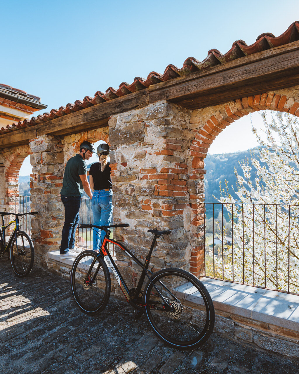
When you get to Vernè, turn left when you see an information panel and return to highway SP 50. Follow the highway for a few metres, then turn immediately to the right onto a dirt road that is a part of the “Sentiero dell’Acino”. Follow the rolling ups and downs of this road through this dense grouping of vineyards, the plots of land marked off by just a few tall trees. At the top of the hill, you will come to the intersection with the paved Via Castellinaldo. At this point, the RBT itinerary heads right along highway SP 50, then, at the first curve in 200 metres, turn left onto a dirt road that crosses a valley of vineyards and wheat fields up to the summit near the Castagnito cemetery in Tortorini.
Turn left onto a wide, panoramic road that starts out gravel and is then paved as it winds through a vast area simply packed with vineyards, given that Castellinaldo d’Alba is the Roero municipality with the greatest surface area of vineyards. Here, we can begin to see the upper part of the village with its typical hillside layout, Damiano Castle dominating over the village, surrounded by an intricate mosaic of vineyards.
Roero DOCG and Roero Arneis DOCG are the typical wines in this region and are the focus of many festivals, awards and other events. Like Barolo and Barbaresco, Roero is produced from Nebbiolo grapes and has seven centuries of history behind it, as the first mention of Roero wine from Nebbiolo grapes dates back to 1303. Roero obtained its “DOC” (protected designation of origin) in 1985, and 2005 was the first vintage to boast “DOCG” (protected and guaranteed designation of origin) status. Roero Arneis, a fruity white wine with an acidic finish, has been cited among the Roero wines since the 1400s. The name comes from a cru in the area of Canale, “Renesio”, that dates back to the Roman Empire.
As languages morphed over the centuries, the musical name “Arneis” became established in popular culture and was also used to describe a unique, extroverted individual, a friendly person but a bit of a rebel. Throughout the RBT, there are a great many vineyards where you can take a break for a tour and a bit of wine tasting.
When you reach the Via Serra residential area, cross highway SP 176 and continue along the crest of the hill past an agriturismo. In a few metres, turn right onto a steep headland trail through the vineyards, which will take you to an intersection with highway SP 177 to Magliano Alfieri. Turn right and go to Magliano Alfieri along a steep section of the highway, where you will have a panoramic view of the valley, its vineyards and the hilltop villages of Guarene and Castagnito. At the crossroads for Priocca, turn right onto highway SP 2, then turn left after about 600 metres onto Via Asilo Alfieri, which will take you into the centre of Magliano Alfieri, with its impressive castle, Belvedere park and a leg of “Strada Romantica delle Langhe e del Roero”. A grand residence erected by the Alfieri Family in the 17th century, the castle was a vacation home for the Italian dramatist and poet Vittorio Alfieri and is now home to both the Museo dei Soffitti in Gesso e delle Tradizioni Popolari (Museum of Plaster Ceilings and other Folk Traditions) and the museum “Teatro del Paesaggio” (Landscape Theater), which is an interactive, multimedia space dedicated to hills and rivers of the Langhe-Roero region.
The RBT heads down along Via Vincenzo Troya and Via San Secondo. As you pass the last few houses, follow along the panoramic trail past vineyards and hazelnut groves overlooking the fertile Tanaro Valley, the Langhe wine region and the province of Asti. When you reach Rocchetto, take Via Magliano and then Strada San Vittore into the centre of Priocca on Via Umberto I. Just after reaching the main square, with its impressive, neo-Gothic Church of Santo Stefano, turn left onto Via Cavour to go around the highest part of the village, then take a road that descends steeply past the houses to Val del Ponte. At the intersection with highway SP 2, turn right in the direction of Priocca. After less than 200 metres, turn left onto Via Val Cravera and continue along a dirt road across the hillside until you reach the intersection with Via Santuario, a paved road that heads up steeply towards Serra Moriondo.
At the first of the houses, the RBT bends to the right on a brief ramp of paved road that will take you to dirt road where the view opens up onto a new valley of mixed agriculture and a few sections of woodlands. Continue down to the base of the valley, where you will find pastures and fields of grain, and on to Ponte del Re (literally: King’s Bridge), so named because King Charles Felix of Sardinia had a bridge built here in the 1800s to facilitate his carriage rides from Turin to his summer residence in Govone. When you reach Piano Vaneschia, turn right in the direction of Trinità, then leave the main road near Chiesetta to descend through woods and cultivated fields to the parking area of the Govone cemetery. Turn left here onto highway SP 235 and continue on to the centre of Govone.
PLEASE NOTE: Responsibility for the maintenance and practicability of the various trails lies with the municipalities where the routes are located. The Tourist Board, therefore, cannot be held responsible for any inefficiencies, but is willingly available to collect your reports so that they can be forwarded to the authorities concerned.


