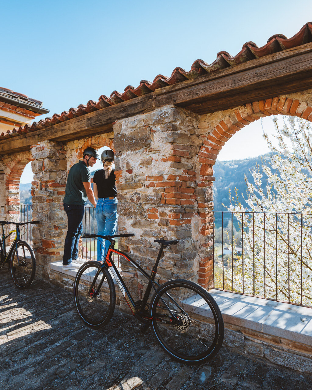
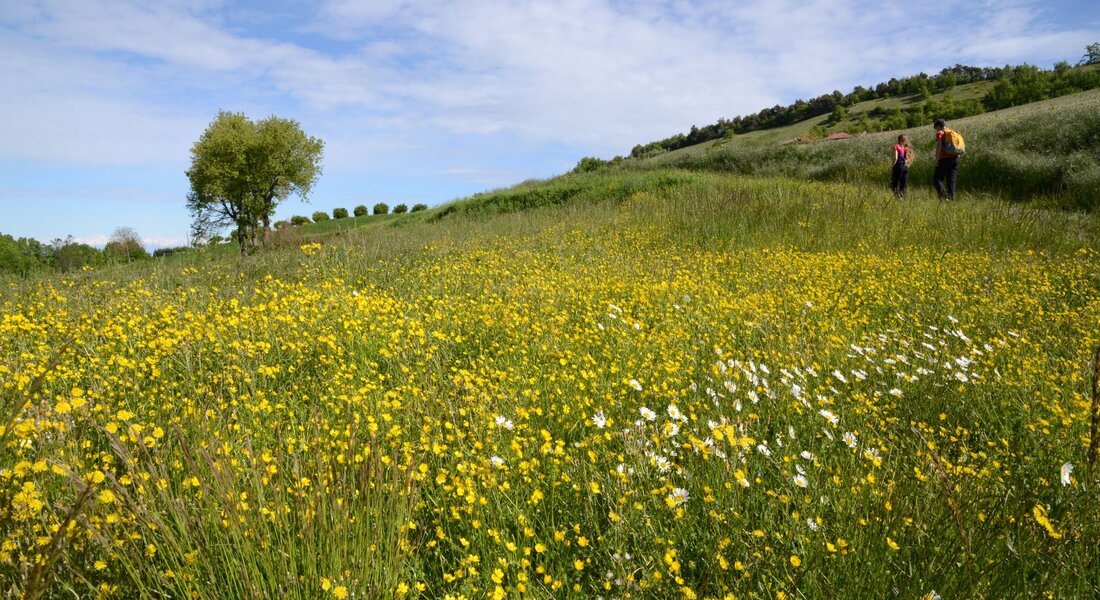
You can leave your car in the parking areas along the Circonvallazione Giacinto Bauzano. From here, a brief climb along Via Del Castello will take you into the centre of village next to the curious village hall located in a former church. Slightly further, you will see the facade of Unione Montana with the coats of arms of the municipalities of the Upper Langhe region.
- for who: children 6 and older. Not suited to strollers (small children should be in backpack carriers)
- when: spring, autumn, winter without much snow
As you continue along what is now Via Umberto I, you will see why this is called “the village of roses”, because nearly every building is decorated with roses of all types and sizes in an explosion of green and, in the right season, of colour and fragrance. Piazza XX Settembre, just after the parish church, is worth a visit for its view and for its “Angel of Alta Langa Region”, a work by the artist Daniele Cazzato, extending its wings as if in an embrace (fontana).
Continue slightly downhill until you reach Via Circonvallazione and then down to the main highway, which narrows here (caution: no sidewalks) through the residential area. Keep to the right along Corso Paolo della Valle and out of this area of characteristic homes (playground and fountain near the athletic fields). This road, which features some stunning views to your right, will take you to a large roundabout, where you will continue along the main highway in the direction of Alba until you reach the characteristic Fontana Azzurra (“Blue Fountain”).
Note: From the end of Via Umberto I to here, there are long sections without sidewalks, so you will need to be very wary of traffic if traveling with children. If you would like, after visiting Bossolasco, you can come to Fontana Azzurra by car to save at least 1.5 km (about one mile) of walking.
Pass the fountain to a bend in the highway. Here, you will leave the highway to continue straight along Via Lodole, following the red-and-white markings (sign: “201 Serravalle Langhe”). Just after the sign, take the downhill dirt road to your right then turn immediately to your left to go around the house. The dirt road will take you steeply down in a trench (and can be slippery when wet) and through a pleasingly cool section of woods.
When you reach a clearing, look up and you will see a bell tower in the distance, which marks your destination of Serravalle Langhe. As you head back into the woods, the road continues downward and across a stream, after which the road heads back uphill to a crossroads at the edge of the fields.
Continue to the left (sign for the GTL) at the edge of the fields and reach the Church of San Lorenzo along an open, panoramic section of road. Past the church, you will pass a few houses in the village of Pratonoero. Here, continue along the paved road to the left, which heads slightly uphill.
Note: If returning on foot, keep this crossroads in mind, because the sign is not very visible from the back, so you could end up taking the wrong road.
Continue up along the paved road along a beautiful section of hill crest with a view over Monviso. Immediately past a house, you will take a dirt road to the right, which initially heads downhill before turning more sharply uphill. When you reach another house, the road will again be paved, and you will continue to the right until you reach the main highway. Continue along the highway to the left (on the sidewalk), then take the uphill road into the centre of Serravalle Langhe until you reach an ample, covered area with tables. Not far after this, you will find a church next to which there is a park with benches, a fountain, an information board, and two monumental horse chestnut trees.
The return trip follows this same route in reverse, or you can take the no. 120 bus line that runs from Alba to Bossolasco (see https://www.buscompany.it/).
PLEASE NOTE: Responsibility for the maintenance and practicability of the various trails lies with the municipalities where the routes are located. The Tourist Board, therefore, cannot be held responsible for any inefficiencies, but is willingly available to collect your reports so that they can be forwarded to the authorities concerned.


