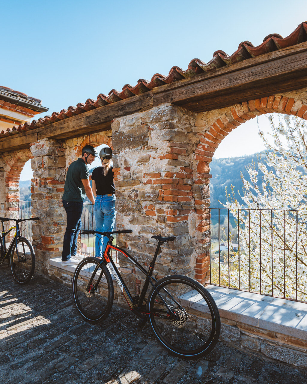
Near the Prunetto Castle, there is a large parking area (fountain) for tours of the 17th century Santuario Madonna del Carmine and the intriguing medieval structure dating back to the 1200s, which was used to watch over the Bormida and Uzzone valleys.
Note: Here, the route heads down along the paved road near the cemetery to the highway, then follows the highway to the left for about 2 km (1.25 mi) to the “Baraccone” picnic area with tables, shade and a fountain. Because the itinerary is already quite long on its own, we recommend coming to the picnic area by car, so you save 2 km one way of highway without a sidewalk or shade that adds nothing to the overall outing.
- for who: children 6 and older. Non suited to strollers (small children should be in backpack carriers)
- when: spring, autumn, winter without much snow
Follow the red-and-white signage for the GTL in the direction of Castino. Pass the rest area and continue on to an intersection of three roads. Take the middle of these roads (blue “Bricco” sign), which heads uphill. At the first house (with a lovely, tree-lined drive), turn sharply to the left onto a grassy track that runs along the property line of this house. This lovely rural landscape will accompany you along a fence, at the end of which you will head down a paved road to the left and then continue immediately to the right, now uphill, through pastureland and pine forests.
Near a building of the electrical utility company, keep to the left on a gradually descending dirt road and into the shade. Continue straight on. The road will turn to paved on an uphill then back to dirt on the downhill, continuing on along a false flat. A more gradual section through the fields will take you to a fence around and aqueduct station with frescoed walls, complete with table, fountain, and outlets for e-bikes.
Note: This point could serve as an intermediate destination for smaller children (see notes below).
After a rest break, the itinerary continues by crossing the paved road and heading back uphill. Follow the signage carefully, because at a certain point there will be a downhill deviation to the right. You will continue on straight and steeply uphill, but keep this crossroads in mind for the return trip.
Note: If children are particularly tired, we recommend following the return trip variation, which will shorten the trip and involve less elevation gain. See the return variation below.
Soon, the road will make an inviting, downhill curve to the right, but here you need to continue straight onto a grassy track that will take you up to a small rest area with a table. From here, take the rightmost road downhill, which starts as a dirt road and then becomes paved. Continue down to a crossroads with a shrine, and keep this landmark in mind for the return trip. Continue down alongside the athletic fields and then arrive in Bergolo (fountains).
This is a great spot for children because nearly all of the walls have paintings they will enjoy, some of which are clearly visible, while others will require a bit of hunting. There are also statues and other works of art that appear as if they had been forgotten there by an absent-minded artist. After a break, we recommend wandering around the village (of about 80 inhabitants), then head out along Via Roma, past the church, which will take you to a hill-crest road through a memorial to Ezra Pound and on to the 11th-century jewel of San Sebastiano chapel atop a panoramic hill.
For the return trip, we recommend a brief variation that will avoid having to go back up the last hill and will save you nearly a kilometre of up-and-down roads. Go back along the road just travelled for the outbound trip until you reach the shrine. Here, take the dirt road to the left, which rises gradually to a nearby plaque commemorating a resistance fighter who died in 1944 and brings you back to the road you will have taken before. From here, follow the rest of the itinerary in reverse.
Another alternative is to return by bus, Canelli-Savona line 103 (www.grandabus.it).
Notes
For children who are too big to be carried but too small to take on such a long walk, we recommend stopping at the fence of the colorful aqueduct station. This variation is just 2.8 km (1.75 mi) with 50 meters (165 ft) of elevation gain, one way.
PLEASE NOTE: Responsibility for the maintenance and practicability of the various trails lies with the municipalities where the routes are located. The Tourist Board, therefore, cannot be held responsible for any inefficiencies, but is willingly available to collect your reports so that they can be forwarded to the authorities concerned.


